Anchoring, Islas Todos Santos Style

Islas todos santos anchorage

North Isla Todos Santos from south island. Resolute in the lower right.

Two days after arriving in Ensenada we had tourist cards, import permit, and local cell phone plan in hand and were ready to untie the dock lines and cozy up to our first Mexican anchorage.  Islas Todos Santos, a cluster of two small, rocky islands peered over the horizon, a mere 10 nautical miles west of us.  Known for their massive surf break and untouched wilderness we were itching to drop the hook in the shadow of their majestic cliffs, but wanted to make the most of our scant time at Baja Naval Marina sending out last minute emails and taking advantage of their hurried (5 minutes max), but free phone calls to the U.S.  At 4 pm we finally slammed the laptop screens shut and unadvisedly pushed off from the dock.  With the border crossing finally behind us, we were brimming with enough overconfidence to shrug off the dangers of a seemingly straightforward day sail and head into battle with a strong headwind and race against the setting sun.

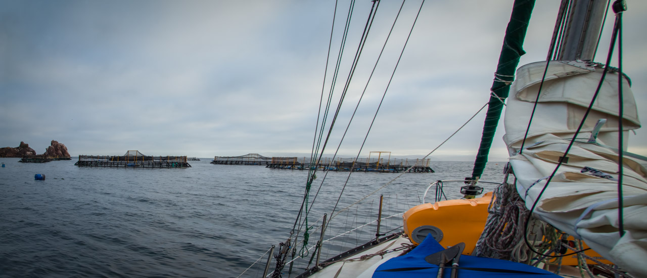
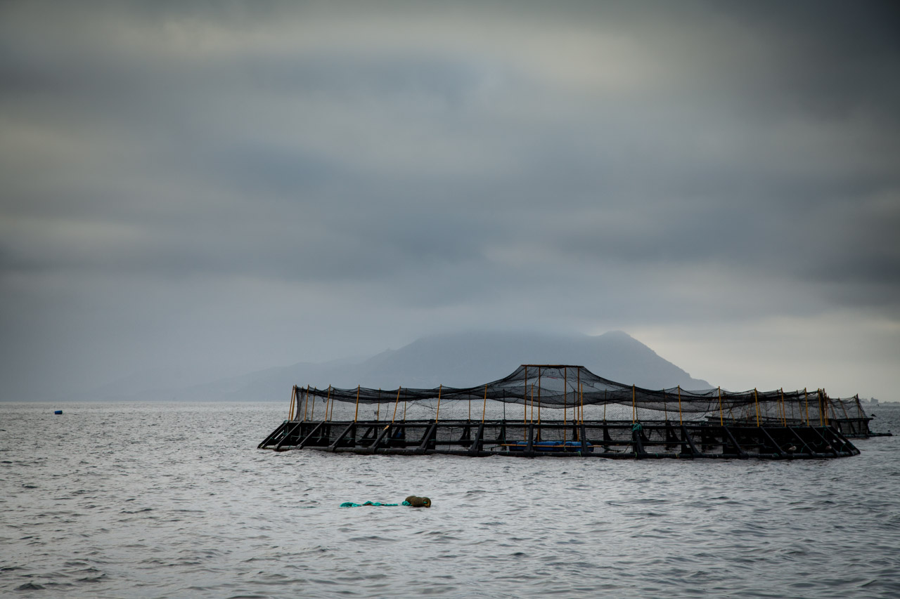
When we finally arrived at our intended anchorage on the lee side of the southern island, bright golden streaks filled the sky where the sun had once stood.  Although darkness was gathering its strength, we had just enough light to clearly make out the large aquaculture nets that were choking the small anchorage and spilling out into the deeper waters surrounding it.  Erik sailed us south along the massive array of sea bass enclosures as we tried in vain to locate a significant gap in the nets.  With the enclosures extending out to depths greater than 200 feet, it was both too deep and too exposed for Resolute to take shelter.  From where we floated our options were few and since it was too late to turn tail and run back to Ensenada, we decided it was either head out sea or get down right cozy with the enclosures.  We opted for cozy and steered Resolute toward the cliffs well south of our previously planned anchorage.  Nervously dodging buoys and pens we picked our way through the maze.  Scarcely a breath escaped between us as we imagined the tangle of lines that may lie just below the surface, connecting the large structures and waiting to foul an unassuming propeller.  We nestled in as close to the cliffs as we dared and dropped the hook in 70 feet of water.  It took us four nail biting attempts to set the anchor and find just the right amount of scope to hold us off the enclosures but still keep us firmly rooted to the short, rocky shelf.  On our third attempt setting the anchor, movement above the cliffs in front of us caught my attention and I glanced up to see two men, likely the fisherman overseeing the aquaculture operation, gawking at us from the porch of a large ranch style home.  Although I could not make out their faces, their stiff stature and binoculars in hand told me that it was not everyday they witnessed a couple of foolhardy sailors trying to become one with their sea bass nets.  There was not a lot of sleep had that night (by us and quite possibly the fishermen) and at 6 am the next morning when the winds shifted in an unfavorable direction we pulled anchor and quickly exited the maze the way we entered.

In the light of day the rugged volcanic cliffs commanded our weary attention, sprouting from the white sea foam and terminating in a medusa like crown of encircling gulls.  The verdant rolling hills contrasted the stark desert beauty of the mainland, and the cool breeze tempered the grueling heat of the past week.  Even though the first night wracked our nerves and the lack of sleep left us cranky and quick tempered, neither Erik or I were ready to let Islas Todos Santos slip away.  We had read of the possibility of an anchorage on the smaller of the two islands, so we motored north with fingers crossed.

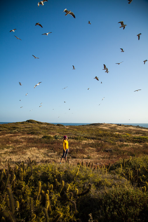
We found the northern anchorage exposed to wind and waves, but the obvious lack of aquaculture nets was hard to ignore, and in our less than picky state dropped the hook with giddy smiles plastered across our faces.  We spent the afternoon napping and fishing and that evening dined on the spoils of our first catch of the trip.  By the next day we were feeling naively content with Resolute’s exposed location and hopped in the dinghy (aka Pudgely) to seek out solid earth beneath our shaky sea legs.  We beached Pudgely on a small, protected spot on the southern island and scrambled up the rocks to the top of the cliff where we found two young biologists at work in a small concrete structure surrounded by three small tents and several plastic tubs of field supplies.  The second I saw them I felt a painful longing and I knew Erik felt it too.  This time of year, if we had not been cruising, we would have been preparing for another long field season crawling around the remote corners of Alaska, studying coastal processing and mapping geology.  The memory of lugging those heavy plastic tubs all over the state made the corners of my mouth turn up into a broad smile and I escaped my day dream just in time to hear the biologists warning us to give the nesting cormorants a wide berth.  They went on to inform us that if the cormorants felt threatened they would fly away, leaving their precious eggs exposed to the multitude of hungry gulls.  So we walked on keeping a watchful eye for nesting birds and trying desperately to make ourselves as small as possible as to avoid the rain of poop that belted down upon us from the tenacious gulls overhead.  Everywhere we went, a wall of white flew up in front of us and merged with the droves of gulls already encircling us.  The cacophony of squawking intensified as we neared the western end of the island and our clothes by this time were wet with the gifts they rained down on us.  After a hurried snack break, during which the gulls did give us a small reprieve, we headed back to Pudgely.

When finally back within view of Resolute we noticed she was thrashing violently and her anchor chain was nearly vertical.  We sped up to her and quickly hopped on deck to find the snubber line snapped and chain hook missing.  Not only was our anchorage unprotected, but the seafloor below it was very, very rocky.  Much to our dismay our chain had wrapped itself around a boulder, reducing our scope and putting our anchoring system in danger.  Erik gave me a forlorn look as I ran back to throw on the windlass and fire up the engine.  But after several attempts to pull the anchor, Resolute’s chain sprang free, and we breathed a sigh of relief at the minimal loss of a snubber and chain hook compared with the loss of 100 feet of chain and a rocna anchor!

aquaculture nets

Todos Santos aquaculture nets


aquaculture nets

Very large aquaculture nets


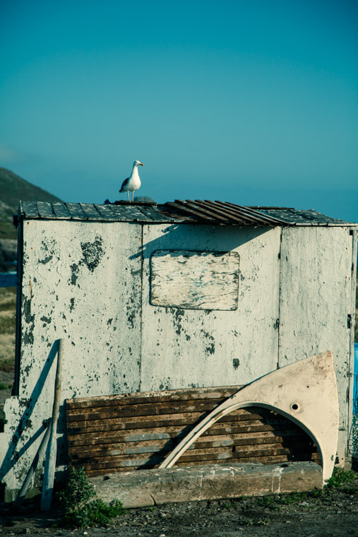
fisherman hut

Fisherman’s hut, filled with old mattresses and engine parts.


Attack of seagulls

Meagan being dive bombed by the seagulls!
 

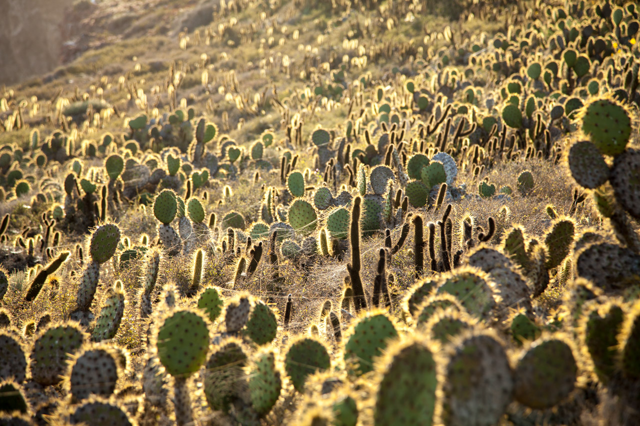
cactus

Cactus maze


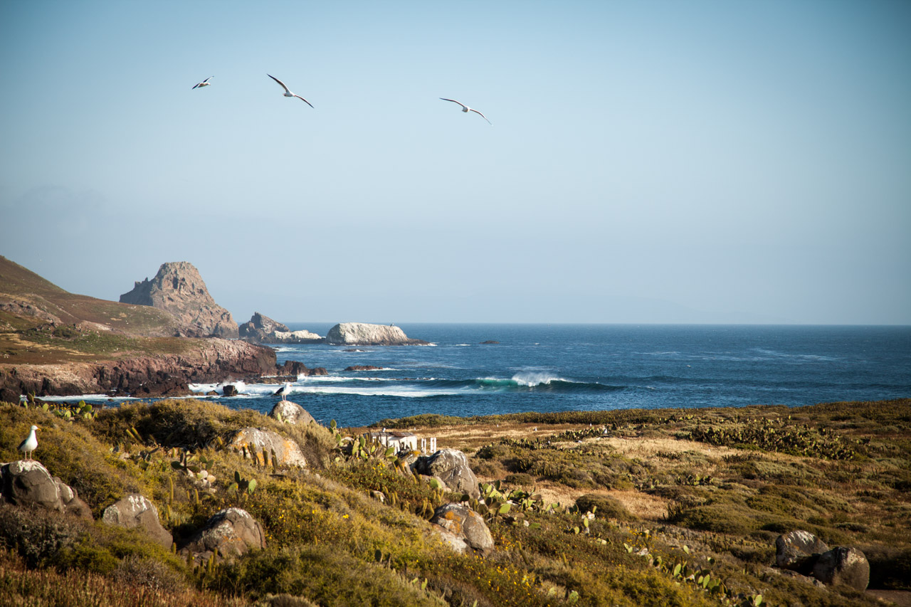
Surf Break

Surf break


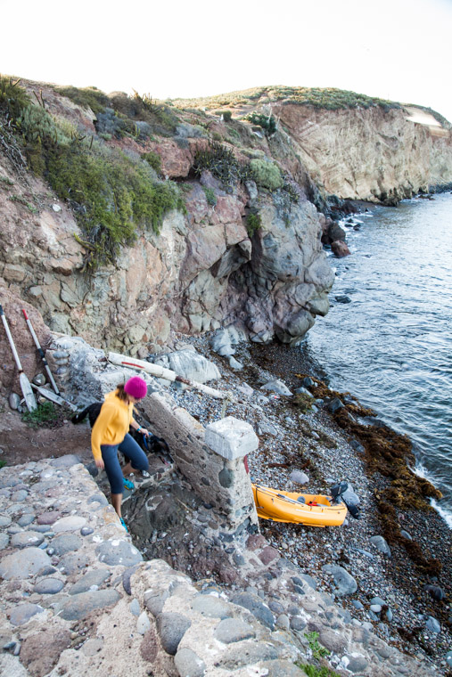
dinghy landing stairs

Climbing back down to Pudgely


Catalina Island continued…

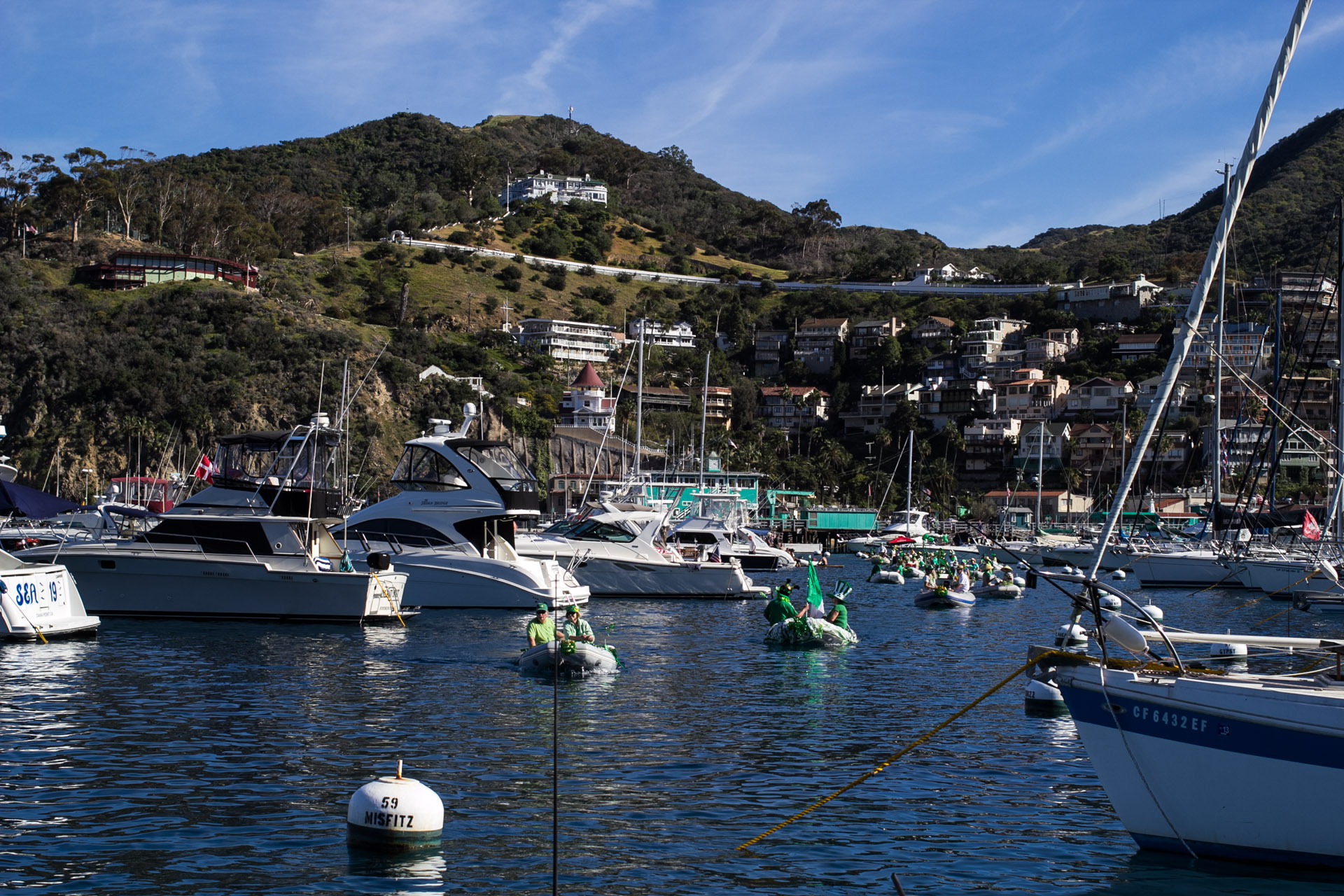
The rest of our time in Catalina was like something out of a dream.  We sailed from the quiet solitude of Small Harbor Anchorage to a mooring ball in the raucous town of Avalon on the southeast side of the island.  Our first glimpse of Avalon was obscured by the towering Princess cruise ship parked just offshore.  The large ship dwarfed Avalon harbor and intimidated those of us who hadn’t seen more than a handful of boats in the better part of a week.  Except for the hundreds of tourists milling about, the town itself was fairly quiet.  By weeks end it was a different story, Avalon had metamorphosed into something that I have a very difficult time describing, but think MTV Spring Break meets Lifestyles of the Rich and Famous and you’ll be on the right track.  From our vantage point near the coastline with the other “small” boats we were mesmerized by a sea of drool worthy yachts with more than a sprinkling of enormous mega yachts complete with working deck hands and dinghies so large they made Resolute envious.  Up until that weekend we had never so much enjoyed just folding ourselves into the cockpit and watching the cinema that unfolded around us.  To starboard there was a 30 foot power boat with so many partying 20 somethings that it looked like it might capsize, off our stern quarter there were surfers attempting to backflip off the back of a sailboat and land upright on their surfboards tied off a few feet away (they didn’t come close but it would have been pretty impressive if they had), and to port there was an intoxicated young woman floating by in what looked to be a human sized hamster wheel.  The astonishingly elaborate, impromptu St. Patrick’s Day dinghy parade rounded out the weekend nicely.

While we weren’t people watching from Resolute we were enjoying Catalina’s wildlife both above and below the waterline.  Although Erik and I may not have enjoyed our encounter with an adolescent rattlesnake on a hiking trail after dark, we did enjoy the jolt of adrenaline that accompanied the encounter sending us scurrying down the trail, and shaving at least 20 minutes off the hike.  Below the waterline the fish were plentiful.  It was our first  time diving since getting certified over a year ago and to call us a little rusty would be a mariner’s understatement.  But after we finally got all of our equipment together and pulled on our full length wetsuits in the 90 degree weather, we waddled over to the waters edge and jumped (or awkwardly fell depending who you ask) into the sea.  To live like a fish for even one hour was worth any effort and we look forward to many more dives, in hopefully warmer water as we move south.

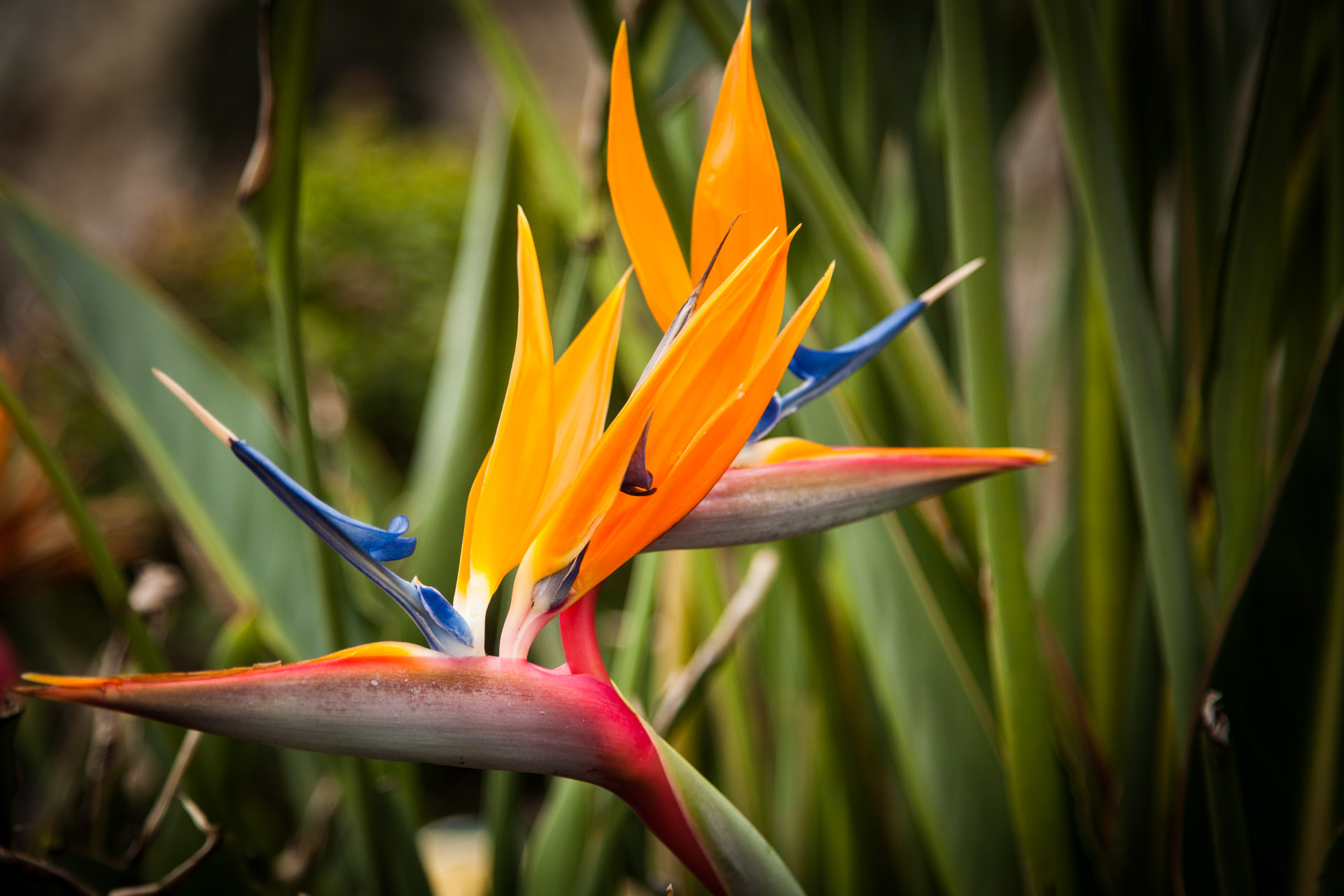
Bird of Paradise

Bird of Paradise flowers lining the streets of Avalon


St. Patrick's day parade

Surprise St. Patrick’s day parade put on by fellow boaters


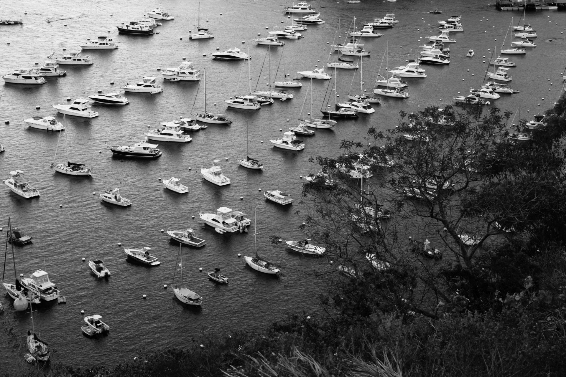
Mooring balls

Nearly all full over the weekend


Avalon, Catalina island

Avalon’s casino and mooring field


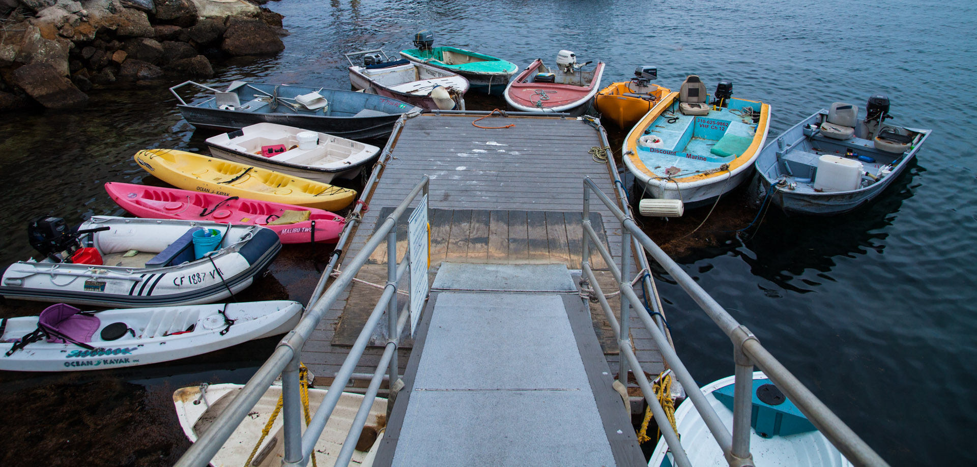
Dinghy Dock

Dinghy dock full and not even the weekend yet


Windy Mountains to Windmills

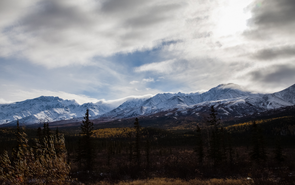
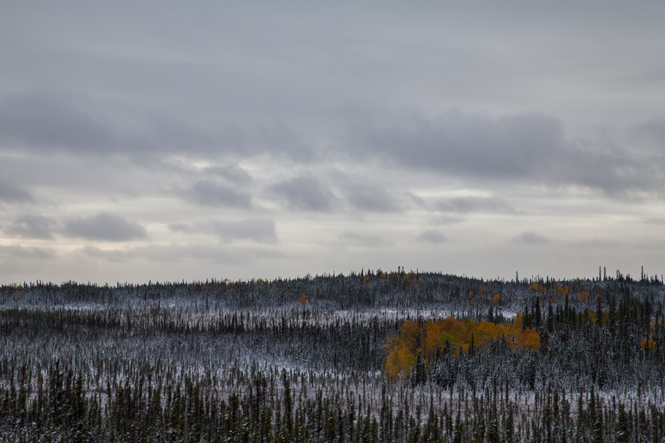
Driving all the way down from Alaska to Florida in nine days is a form of time travel. In the beginning we found ourselves in the middle of the winter’s first snow storm. And at the end we had successfully navigated through all the stages of fall and into the perpetual summer of Florida.

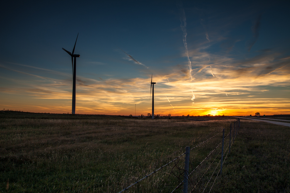
One thing I have heard said a lot and never agreed with is that wind generators are ugly. Hopefully this image helps to change people’s minds and shares the beauty that I think wind farms create. Taken around sunset somewhere in Kansas.

wind generators at sunset

A beautiful promisealaska mountainsWinter is comingsnow on the spruceSnow between spruce

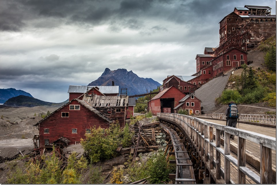
Kennecott Mine, Wrangell-St. Elias National Park, Alaska

The historic Kennecott mine, near the confluence of the Root and Kennecott Glaciers, is a marvel of engineering. Not only did the mine require the laying of 196 miles of railway, some 15% of that on trestles, but it looks like a carpenter’s version of Jenga. In operation from 1911 to 1938, the company mined copper, occasionally mining Chalcocite, a mineral comprising of nearly 70% copper and weighing significantly more than an average stone of equal size. Meagan and I took advantage of the park’s policy of allowing rock collection Winking smile.


kennecott mine alaska

Photo by Meagan DeRaps

I crossed the River Styx, and lived…

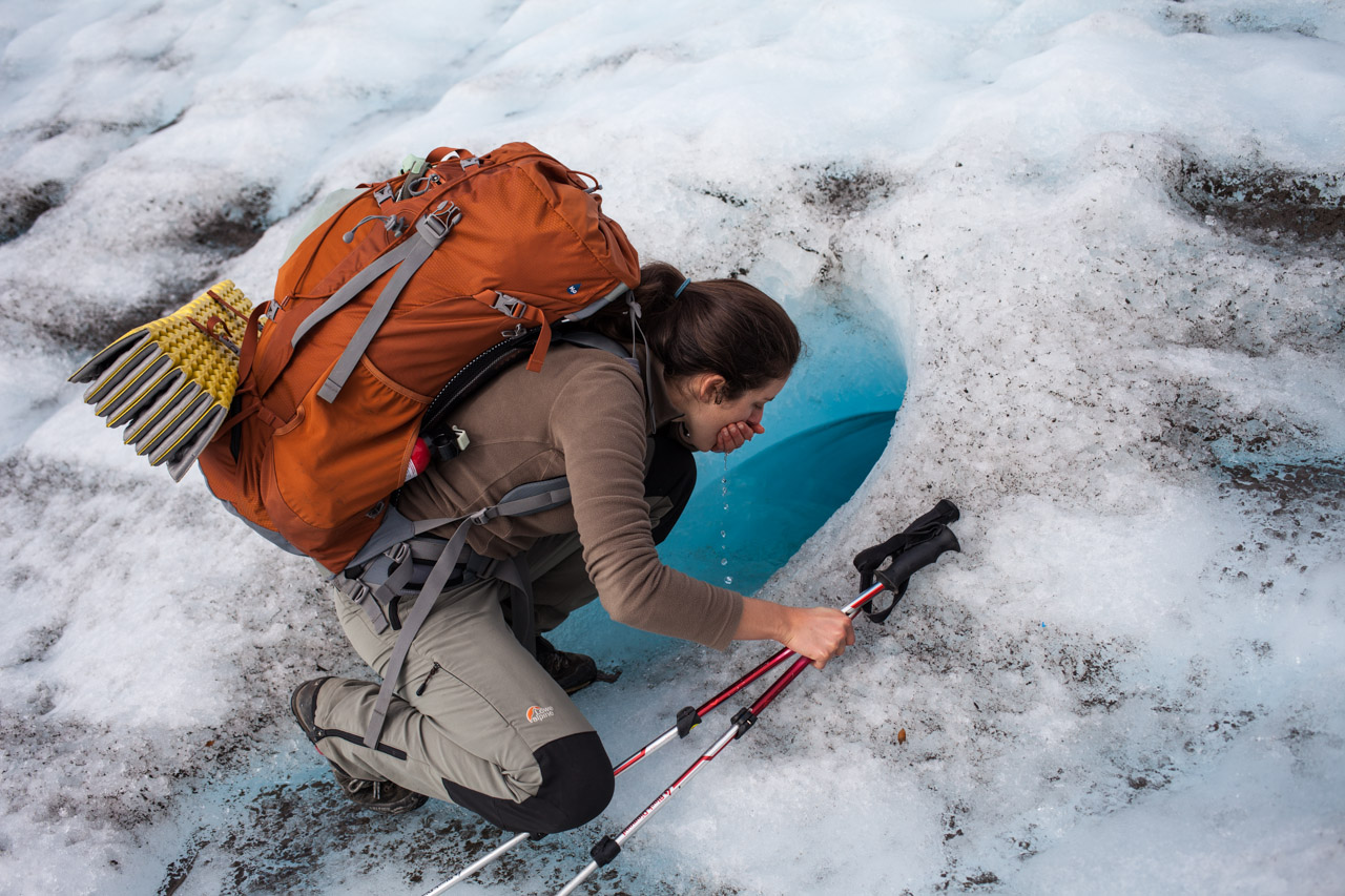
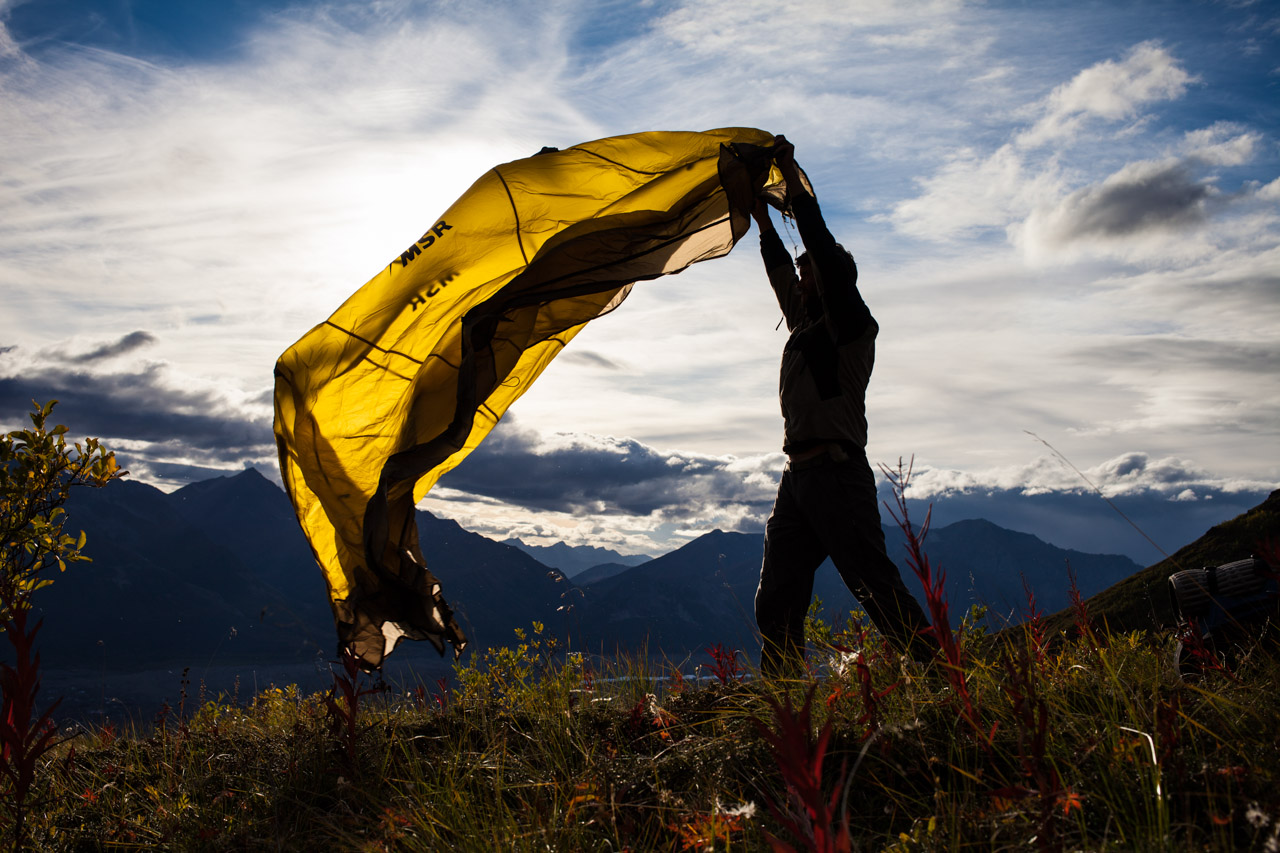
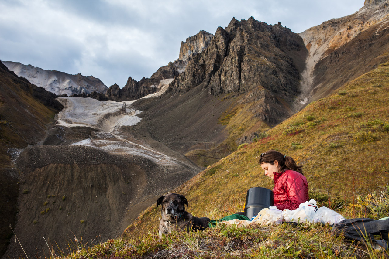
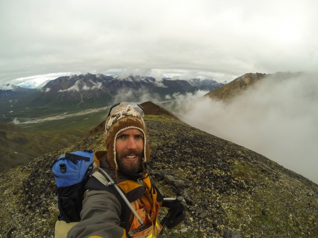
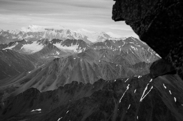
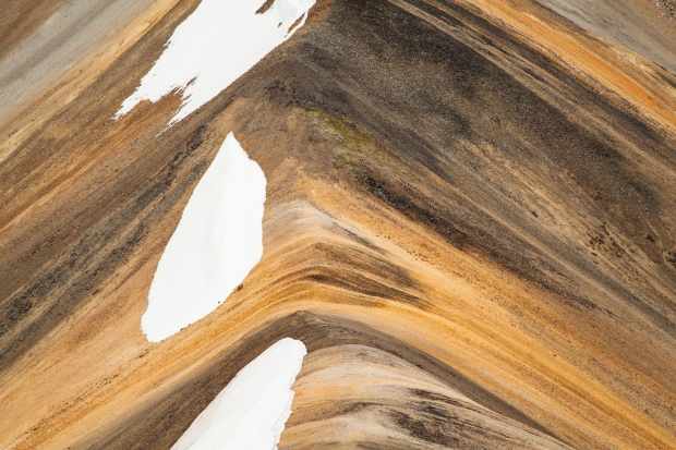
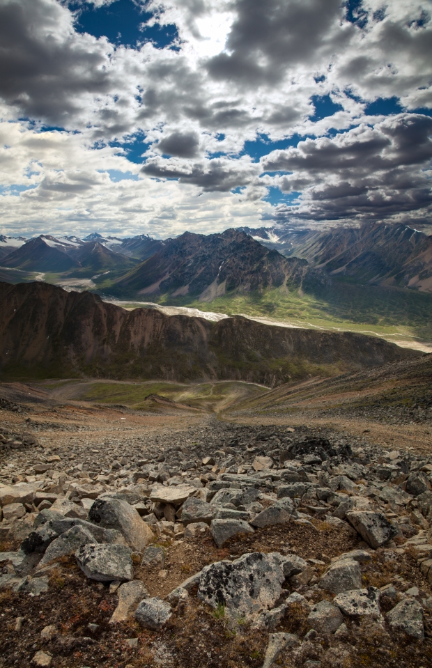
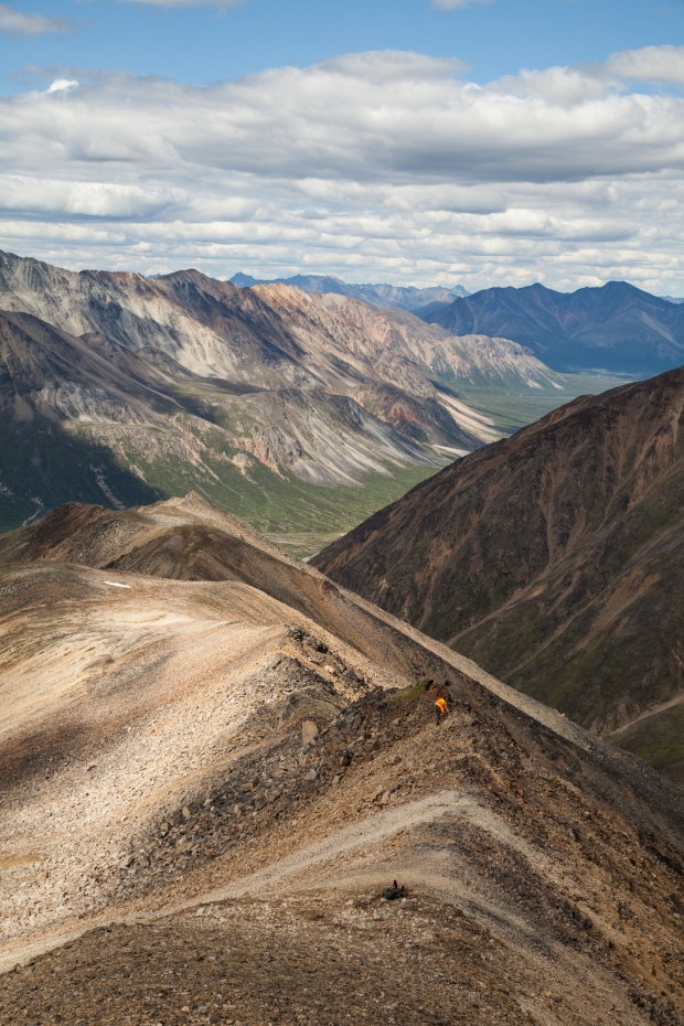
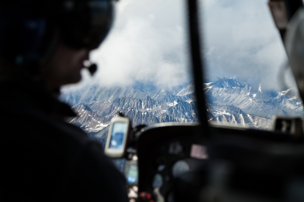
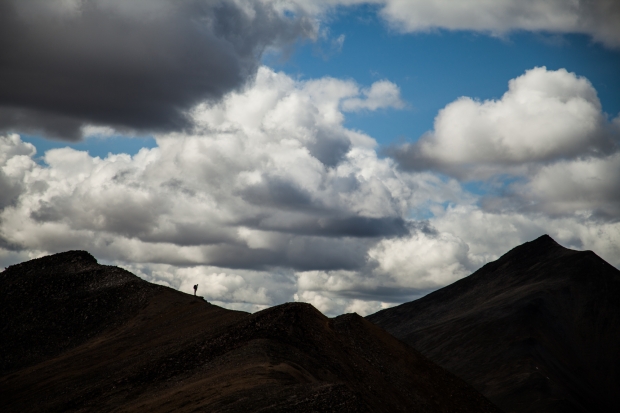
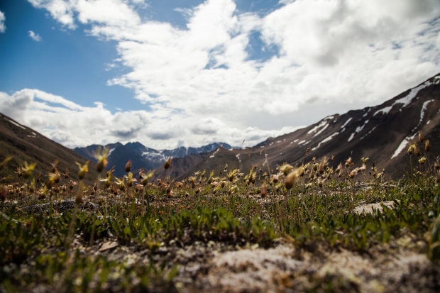
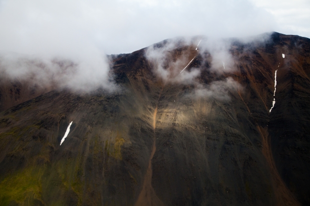
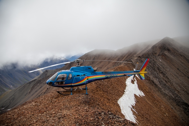
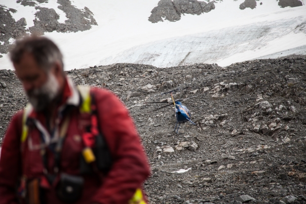
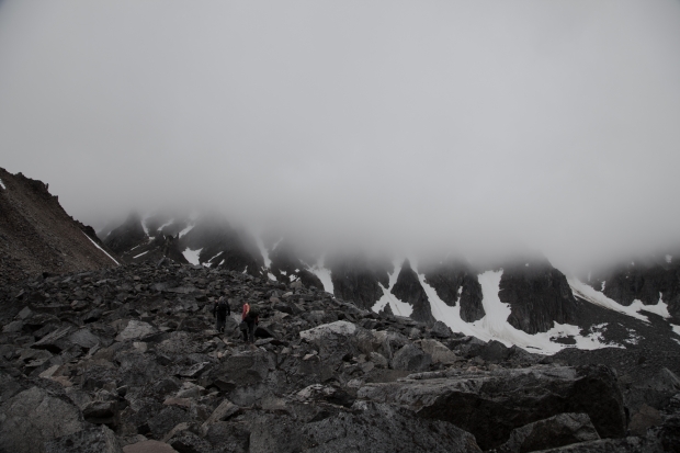
For me, summer is a time of chaos, long hours, travel, and moments of serenity found in nature. These are a sampling of images that tell a story of the first half of my summer field season. As a geologist for the State of Alaska I was fortunate to explore the Western Alaska Range’s Styx River and Kuskokwim  River regions by foot and by helicopter. There really is no better way to see the state. We were based out of the historic Rainy Pass Lodge, one of the oldest lodges in the state and also one of the first checkpoints on the iconic Iditarod dog sled race.


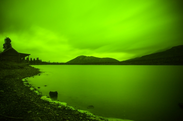
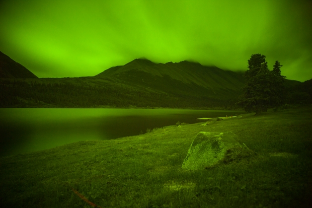
surreal lake

glassy puntilla lake


long exposure puntilla lake

Long exposure of puntilla lake


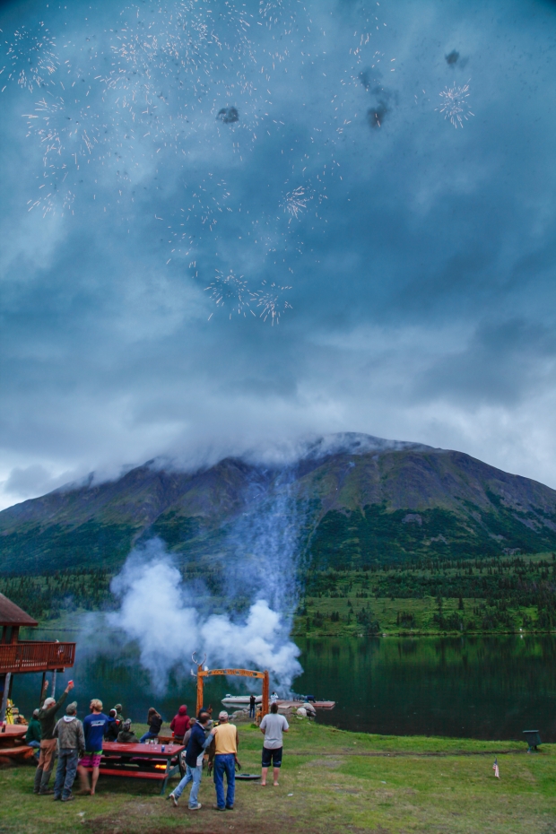
4th of July Fireworks

4th of July fireworks at Rainy Pass Lodge


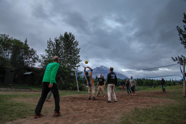
northern volleyball

Volleyball at Rainy Pass Lodge


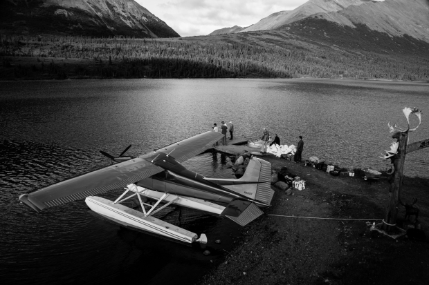
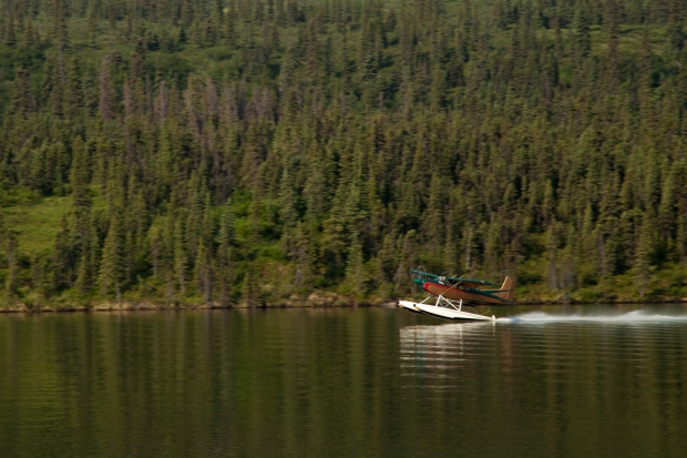
Puntilla lake float plane

Float plane taking off out of Puntilla lake


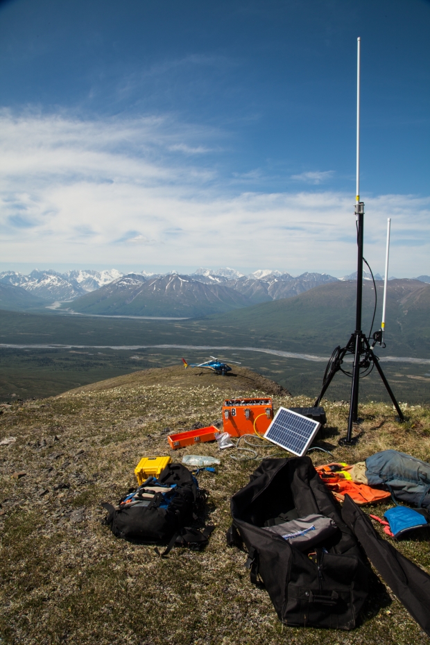
radio repeater setup

Radio repeaters and solar setup


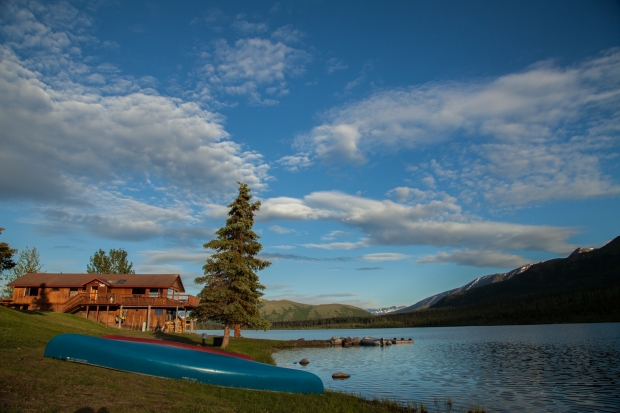
Rainy pass lodge

Rainy Pass Lodge looking South


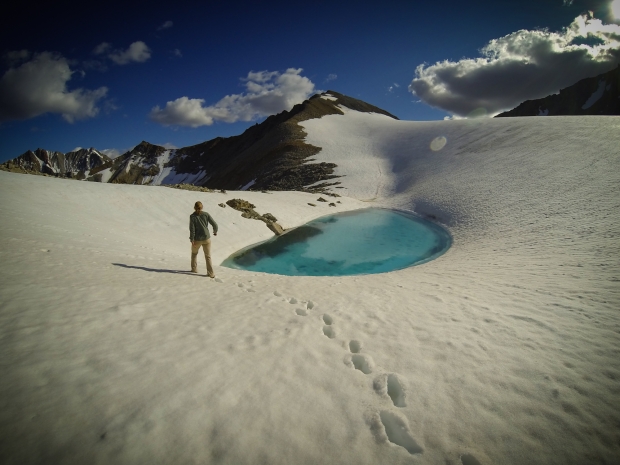
glacial lake swimming

Glacial lake swimming


GoPro selfie

Solo morning traverse


glacial geology


Steep slopes

Any sheep?


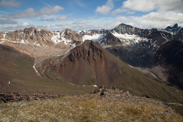
never ending mountains

Never ending mountains


rock and ice

Brightly colored slope


scree slope

The beckoning slope


colorful ridge

Ridge worker


helicopter pilot and view


women looking over ledge

The ponderer


summer slowers

Alpine flowers


sunny slope

Sun spot


narrow landing

Tight landing


helicopter fieldwork

Helicopter fieldwork


glacial recession panorama

Glacier recession


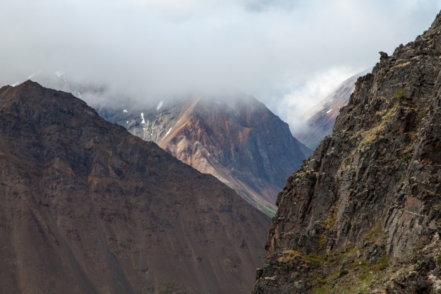
Foggy Morning

Foggy morning


Viewing comet PanSTARRS in Polar and Northern Latitudes

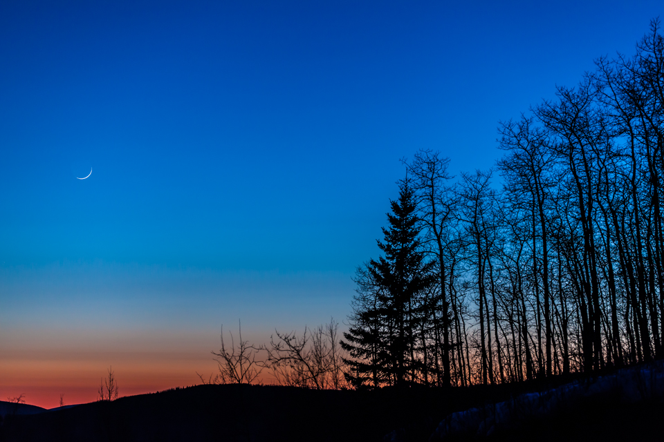
For those of us living in the Northern Latitudes, specifically closer to the circumpolar region, spotting PanSTARRS will be difficult. Especially given the lack of usable information regarding when and where to look in the night sky for our region. While out the night of March 12th, I was trying to watch for PanSTARRS below the setting crescent moon during twilight as numerous sites have stated. Unfortunately, PanSTARRS was still too far below the horizon up here in Fairbanks, AK. Although there was no visible comet the setting moon was still a striking image with the clear skies  we have been having.

setting crescent moon at twilight


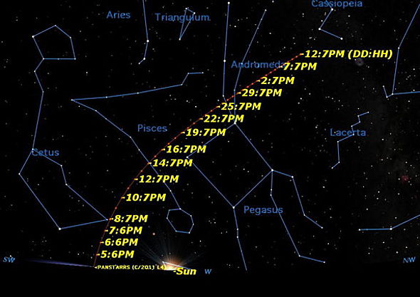
While doing some more research into where the comet will be at what time, I lucked across this useful diagram.


come PanSTARRS sky map


So now anyone with an iphone or android device can know exactly where to look in the sky to see PanSTARRS using one of the many freely available stargazing apps such as SkyView.

So when will I be out looking again? You can be sure I will be looking around the Andromeda galaxy region of the sky in early April. When will you go out? Have you seen PanSTARRS? Let me know in the comments below!

Solstice Time Lapse over Fairbanks, AK

With the temps hovering around a chilly 45 below, the low sun angle of the shortest day of the year provided little warmth.  A far cry from the fire and brimstone hypothesized for the day.  While neither of us were excited about the end of the world, as the camera clicked away, we couldn’t help but think a little hellfire might be nice after the cold temps we have been seeing in Fairbanks these last few weeks.

The morning of the Solstice we woke around 8:30 knowing we had plenty of time to set up the camera equipment before sunrise at 11 am.  Funny thing though, when you want it to be light during the Alaskan winter it never is, but when you’re trying to capture first light it happens way before you expect it.  As we rolled out of the house just after 9 the sky was already blue with just the perfect touch of pink.  So much for getting first light, but with the lack of clouds in the sky and the Alaska Range in full view dominating the southern skyline, we knew it would be a perfect day for photographing and the stress over our late departure became irrelevant.  An hour later we were set up upstairs in one of the large windows of the University of Alaska Museum of the North, who graciously let us block their hallway with our equipment and visit and revisit their exhibits for the next 7 hours.

The final time lapse that you see here is composed of 2,333 photos.  That is one photo taken every 9 seconds from 10 am until a little after 3:30 pm.  Our hope was to capture the brief daily appearance and the low trajectory of the sun from these northern latitudes. I think we did just that, see for yourselves…

As a side note, after arriving home from the museum we ventured out into the cold for a short walk with our dogs and to our apocalypse weary minds watched the ice fog above town light up accompanied by large explosions that reverberated under our feet, could this be it? Have no fear Fairbanksans, turns out it was just some jovial fireworks, celebrating either the return of the sun or the fact that we were not all incinerated in a giant inferno the likes of which Sam McGee would be proud of.  Fireworks on the apex of the end of the world Fairbanks… maybe not such a good idea?

Mt. Prindle and Nome Creek

Gold rush! Those words were rattling through Meagan and I’s heads as we headed up towards Nome Creek on the Steese Highway north of Fairbanks. The plan was to gold pan the Nome creek recreational gold panning area in the morning and then take off later in the day to backpack up to Mt. Prindle.gold panning at Nome Creek, AK

Needless to say, we did not strike it rich although we did get a *very* little piece of “color” in the pan. The area was quite packed with large motorhomes which beg the question of how and why they got them back there in the first place. Since Meagan and I are much happier hearing the creek noises than those of fellow campers we drove back down the road and found an empty spot near the creek to pitch our tent.

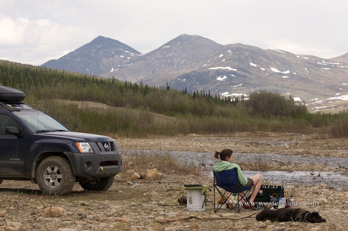
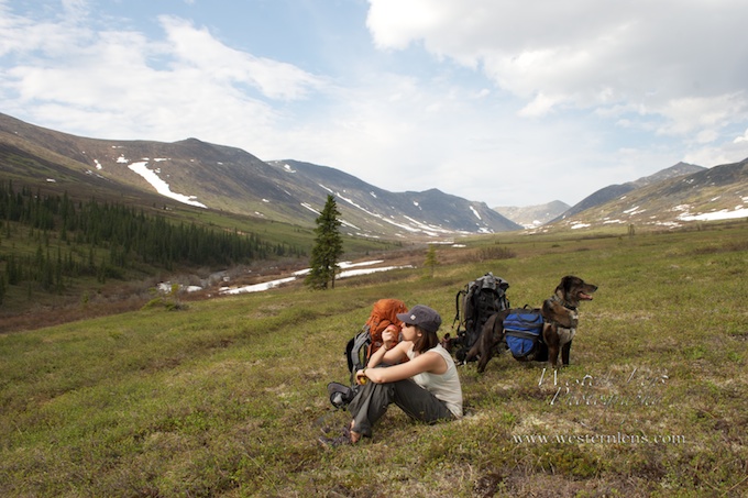
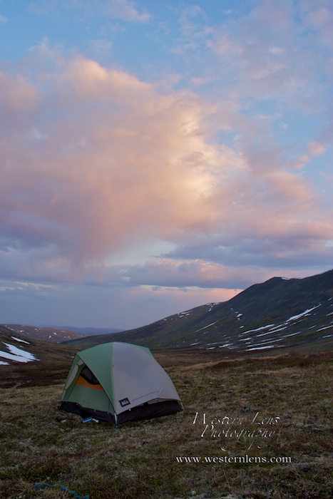
The following day broke with the sun’s heat working its way into our early morning dreams as it turned our tent into an fiery sauna. The hike began well with several creek crossing which require a second set of water shoes to cross as the water is not overly deep but will turn your legs numb within seconds. backpacking up Nome CreekOnce out of the willows of the creek bed the view up the valley reveals itself and gives you just enough of a mountain view to tease you forward. The hiking went well although we were perhaps a few weeks early as the trail was hidden by several large snow patches which required sloppy post holing and most of the trail was covered in a small flowing creek.

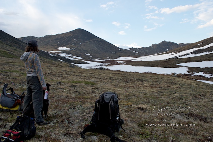
As we reached our chosen campsite in a bowl just before climbing up to the ridge that will take you to the top of Mt. Prindle we noticed the dogs were getting on edge. In the Alaskan wilderness this is usually a good sign to get your bear spray or gun handy. backpacking Alaska with wolvesClimbing a small knoll we looked up valley and spotted a group of eight wolves working their way in our direction. We quickly grabbed the dogs, took our packs off and prepared to defend ourselves. After some discussion we decided to try and make noise to scare the wolves off, a few loud calls and we succeeded. It was a mixed felling watching the wolves launch water into the air as they ran across the saturated tundra. What a neat experience it would have been to have a closer encounter, but what a relief that we did not have one either. We did however have many close encounters with Alaska’s smallest bird the mosquitoe. Which can be seen flying around the lens in the photo below.

mosquitoes in Alaska

backpacking Nome CreekThe night passed without incident with the four of us (two dogs) crammed inside a rather small two person tent. We stayed up well into the morning watching the sky paint itself every color it could come up with. We had to remind ourselves to go to bed and not wait for the darkness to give us that cue.

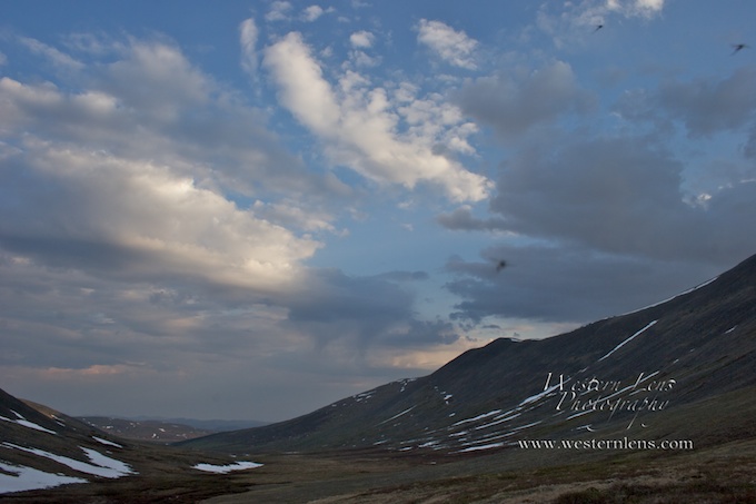
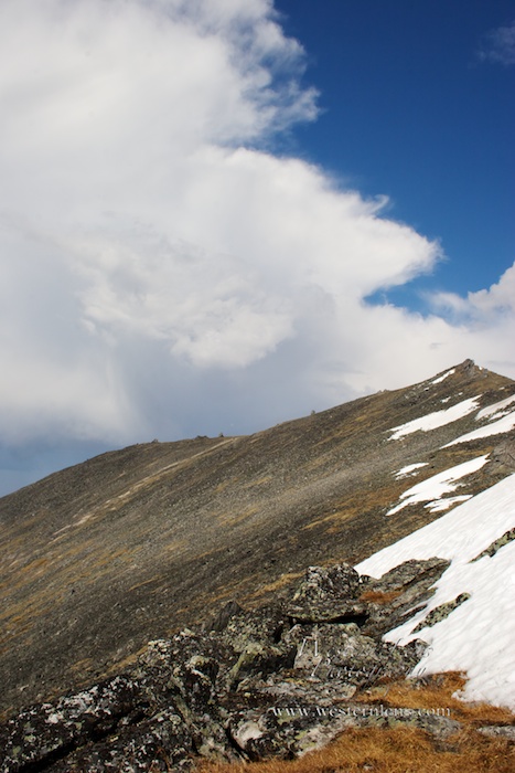
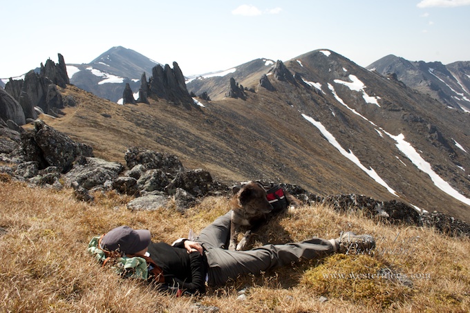
We headed up to Mt. Prindle’s south west ridge after a fantastic oatmeal breakfast filled with the essential dates, nuts, brown sugar and powdered milk. With every gain in elevation more and more of Prindle’s fantastic tors were revealed, each one looking like a new scale to some sleeping giant. Mt. Prindle AlaskaAfter playing around on the rocks and watching a local marmot who had perched himself in a precarious position, Meagan too decided to take a small nap.backpacking Mt. PrindleFearing we would get caught in a nasty lightning storm that was headed our way if we continued on to summit Prindle, we turned around and headed back to camp. The weather quickly turned bad leaving us in our tent for several hours as it sounded like chicken little’s words may have been prophetic.

As we walked out of the valley and back to our car we noticed the smoke from a nearby wildfire getting thick. Must have happened during the night from one of the lightning strikes? Alaska wildfires

In all it was a fantastic getaway and a must do hike for anyone in the interior looking for a change in scenery. The Prindle  Mountain area is unlike anything else around.

Hiking Angel Rocks

Angel Rocks trail is a popular destination for Fairbanks people looking for a great hike close to town with beautiful scenery. It is located around 50 miles drive out Chena Hot Springs road on the right. The trail is well marked and makes a winding, switchback path to the granitic angel rocks themselves. From the top you can see much of the Chena River valley. As an extension, it is possible to hike another 6.5 miles from the top to the hot springs themselves located down the road.

Chena river and angel rocks trail

The Chena river tributary with angel rocks visible in the background

Although the sky was a dull gray and had very little to add to my images, I enjoyed my time hiking and wading into the water for interesting angles. I also tried a little gold panning (to no avail) later in the evening despite the water turning your hands a painful numb nearly on contact.

The lower regions of the trail have multiple beaver dams and can be a great place to stop and play fetch with your dogs if they aren’t tired enough from the hike. Although other areas around Alaska are showing some signs of waking for summer, I found that most of the vegetation on the Angel Rocks trail had not yet started to show any signs of color. What little snow that is left on the trail is melting out fast though.

Melting ice wedge

Melting ice on the edge of the Chena River